

Fantasy Map: Toronto’s transit network assuming the electrification of GO corridors and better integration between GO and the TTC.
Imagine a network of speedy electric trains servicing every neighbourhood in the Golden Horseshoe.
Traveling from Port Credit to the Danforth? Simple.
Venturing from Unionville to Roncesvalles? Easy.
What if I told you that this dreamy network is affordable to build because it harnesses the city’s existing rail infrastructure?
Amazing, eh?
The Vision
Jonathan English, of the blog Transit Futures, is trying to promote this vision with a revolutionary concept called CityRail, which consists of two parts. First, it calls for the electrification of GO’s existing rail lines. Currently, GO relies on large diesel engines to tug a long line of cars, one direction, every hour. An electrified network with upgraded signaling would allow for smaller, self-propelled trains to navigate the system- providing for a more predictable and frequent service. Second, it calls for more integration between the new routes and existing transit services, allowing passengers to travel freely and seamlessly across the region. Yes, this vision will require time and capital, but it’s a better investment of our current resources, then many of the initiatives we are wasting them on now.
Using English’s initiative as a point of departure, I created a fantasy map of how Toronto’s rapid transit system could look. For the purpose of the map, I’ve called the prospective system “Metrorail,” partially to encourage the co-operation between Metrolinx and CityRail, but mostly to avoid any copyright infringements from either side.
The Map
The Metrorail System Map above displays subways, LRTs, and the surface rail lines suggested by CityRail. The look and feel incorporates an appropriate mix of the New York City subway’s Helvetica typeface with the London Underground’s route and station symbology to create a uniquely Torontonian map. Though I am a fan of the TTC’s custom typeface, I decided not to use it in this endeavor. It is better reserved for station names on subway platforms, not for wayfinding signage or route maps. Too much of an iconic font can be a bad thing; I’m sure you’ll agree with me when you see the TTC’s newly designed system map.
It is common practice for transit companies to take liberties in preserving scale and proportion in visual representations of their networks. To avoid a very large and mostly bare portrayal, the Metrorail System Map does the same, to achieve a balanced effect. By contrast, Toronto’s present subway map stretches horizontally and compresses vertically, overly distorting the proportions of the city. Sydney’s rail system-which also happens to be electric-does a much better job at presenting its sprawling transit network. Their Newcastle and Central Coast line stretches 150km, connecting Newcastle to Sydney’s Central Station. This is not unlike the western leg of Line 8 on the Metrorail System Map that connects Kitchener to Union Station, a distance of about 100km.
I deviated slightly from CityRail’s plans. I named stations after districts rather than streets, in part to foster a sense of neighbourhood identity as well as ownership of the transit service. I extended Line 7 to include Galt (Cambridge) and Uxbridge, and also extended Line 6 through the Niagara Peninsula to Buffalo Center… yes, Center. Establishing a reliable transit service between Buffalo and Toronto would mean Buffalo can play a bigger role in the Golden Horseshoe’s Economy.
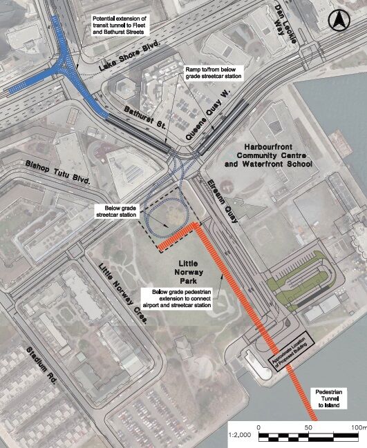
Given the plenitude of proposals, I found it difficult to decide which additional transit expansion ideas should transfer onto the map. The most controversial line I included is the extension of Line 2 (the Bloor-Danforth subway) through Scarborough. Secondly, I expanded Line 1 from Finch Station to Richmond Hill Centre, a priority of the Ontario government. Finally, I made the assumption that Toronto’s Island Airport will remain, and expand, justifying a stop on the Queens Quay LRT line. Would you like to be able to walk to the airport and catch a flight to the west coast?
By making this map I hope to stimulate conversation about a more practical, more holistic, and more cost-effective regional transit system.
Thanks for reading. Feel free to join the conversation! Here’s an ice breaker: What’s your biggest pain point in getting around your city? Enter your comments below.

Amazing article!
I cannot wait to see where the GTHA finds itself in the next few decades as I can move seamlessly from my house to Billy Bishop and touch down in Vancouver later that afternoon (or take the opposite line to Buffalo Airport if there are better prices).
As for the ice breaker, my two biggest pain points for moving around Sucre, Bolivia are:
1. The beautifully narrow and dense streets of the city are marvelous to see, but when they are coupled with siesta-inclined dogs and occasional garbage piles on the sidewalk it leave pedestrians with very little room to move about. Consider that room is limited to the point that bus drivers are nearly grazing their side mirrors against your head even while you keep to the sidewalk.
2 . Another pain regards cycling: this would be a complete joy in the city… except for the 30-35˚ incline on nearly every other city block. To add insult to injury, when you are charging down that seemingly empty two-block stretch of sheer altitude drop, you better say a quick prayer before the next intersection. There is zero culture for abiding to street signs/laws, and stopping or evening slowing at intersections is rare, as a quick honk is more fitting before plowing on through.
I have additional pet peeves regarding transit and mobility in Sucre, but this commentary is already getting too long.
Your north arrow should point to the North-East. Great effort though! Love the concept.
Pingback: Fantasy map fuses the TTC and GO Transit
That’s a fantastic looking map. I’d be really happy to get together to talk about some possible tweaks if you’re interested. I really agree about the value of service to Buffalo, though I’d probably make it on a slightly more limited stop service. With preclearance, there’s no reason that it can’t be a normal part of our regional rail system, and there’d be a lot of demand. I’m leaving my email address if you’d like to get in touch.
It is naïve, a joke, and so short sight of future development of Toronto. You think those mono-way rails and the high speed streetcars can handle the traffic like subway does and they can serve properly during severe weather like today’s snow storm? Scarborough RT fails to operate already.
Also, does the frequency of the train schedule to buffalo will be more consistent and more frequent? Please wait for 2 hours for 1 train schedule.
At last, you like to wait at least 15 minutes at outdoor station for those mono-way rails and high speed streetcars during this winter?
There is no space for existence road surface to build this light transit (unless above ground or below ground).
Metropolitans around the world are looking for mass transit to move or dissipate people from downtown core. How can this light transit can handle the volume of people? At least, you have this idea and make more people move back to downtown to avoid this insufficient transits, which keeps the housing price in Toronto downtown higher.
By the way, you think TTC is a good operator?